
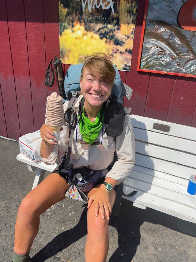
On day 29 (August 4) we left Trout Lake. I had another ice cream cone and some tasty food before hitting the trail at 4. We had to filter some water from a stream before we started since there wasn’t another source for about 5 miles. I found out that I ripped the bag I collect water with so that is really unfortunate. I put some duct tape over it but water sprays out every time I try to filter some. So the next couple days will be a bit annoying with that, I’ll get a new one in the next town. We walked 10 miles to Mosquito Creek. That is the real name of the creek on the map, I kid you not. But surprisingly there were not many mosquitos here. We got to the site a little after 8 and set up our tents quickly since we were pretty tired. I was still pretty full from town food so I just had some trail mix and went to sleep.
On day 30 we left camp by 7:15. We decided to walk about 13 miles to Blue Lake for lunch. We had to go up around 1,000 feet over 8 miles which felt very nice and gradual. I met a bunch of northbound hikers through here. One woman said that my hair looked so great and asked how I get it to look that way on the trail. I just told her that I got to wash it in town two days ago! I haven’t paid much attention to how my hair looks lately so it was nice and surprising to get a compliment.
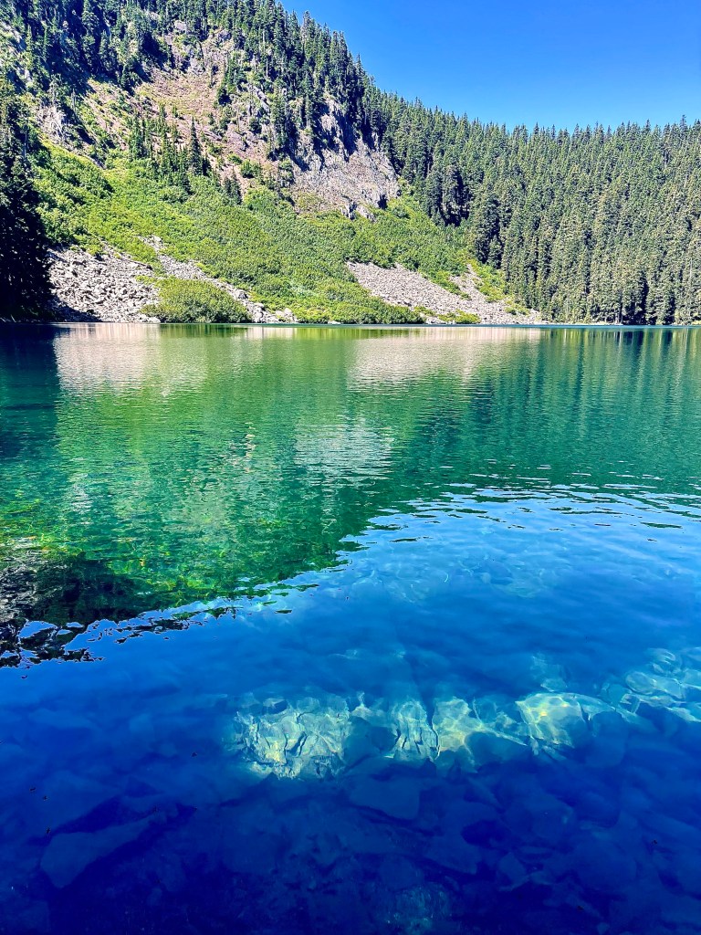
I took a short break after getting up to 5,000 feet and had a little trail mix. I met a SOBO section hiker who apparently lost her two friends that were hiking with her, I hope she found them. I went down in elevation to 4,600 feet over 5 miles to Blue Lake. The lake was a beautiful place for lunch. There were big rocks that sat just above the water line and were a perfect spot to stick your feet in. The water was in fact blue and super clear. I was a little cold so I didn’t swim but Autopilot did jump in. I had a nice lunch and then curled up next to my back pack and took a nap. Sometimes I amaze myself with how lazy I can be. I had my clothes bag and sitting mat under neath me as protection from the sticks and dirt on the ground. I put my rain jacket on and put my puffy jacket over my legs to stay warm. It would have been so much easier to just grab my sleeping bag and sleep in that but I guess I couldn’t be bothered. The nap was great regardless. We stayed here until 4 just enjoying the lake and the fact that there were no mosquitos. I made some coffee and had that before we left too.
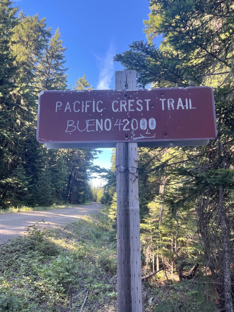
We walked about 7 more miles to Crest Camp. It’s a pretty big campsite off of the trailhead/dirt road that the PCT crosses through. We got here around 6:30 and set up our tents. There were lots of NOBOS already set up here. One plus side to this camp were the pit toilets, sometimes it’s nice not to dig a cat hole. I had some ramen, hot cocoa, and snickers for dinner. Sometimes it’s nice getting to eat whatever you want since you burn so many calories but man do I wish having salad for dinner. I went to sleep around 8:30 since I was pretty tired.
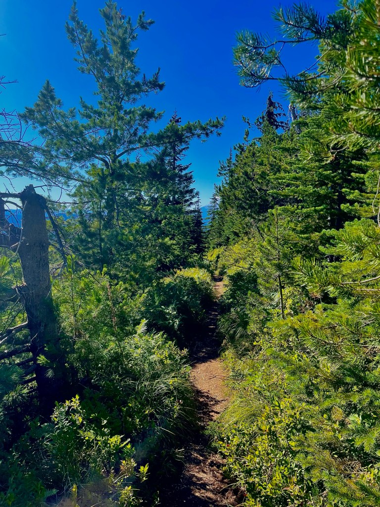
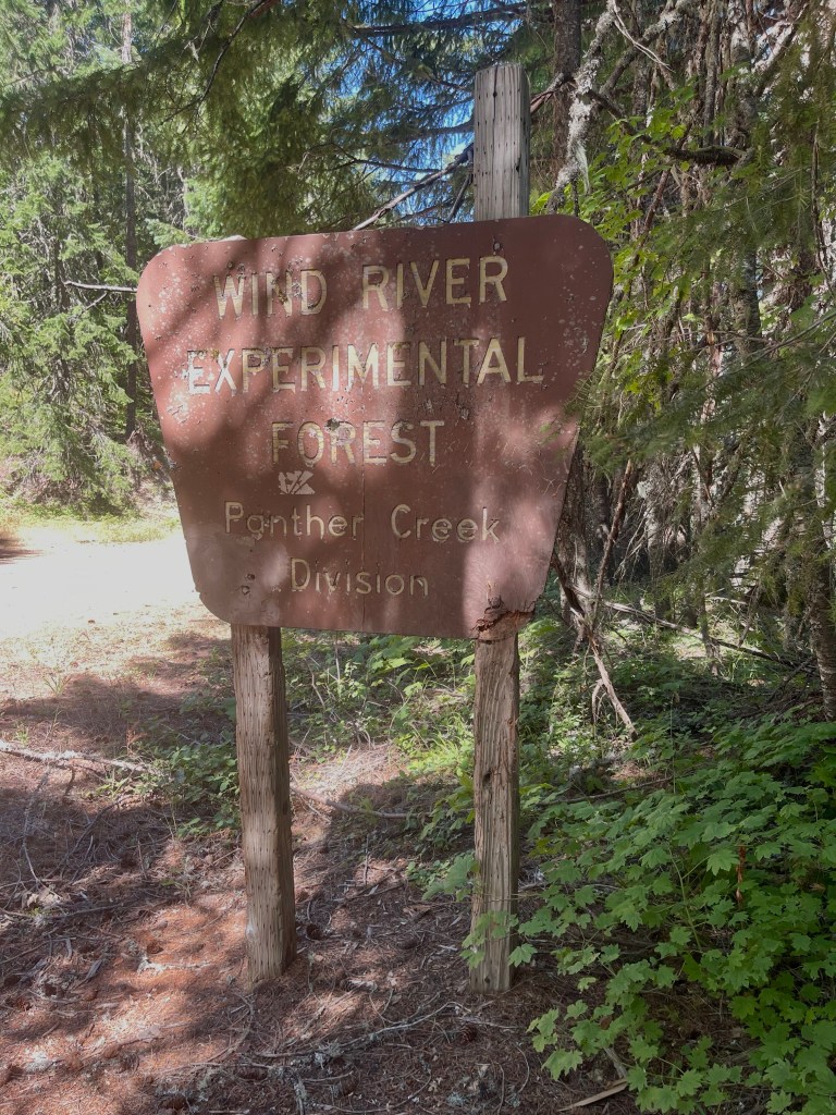
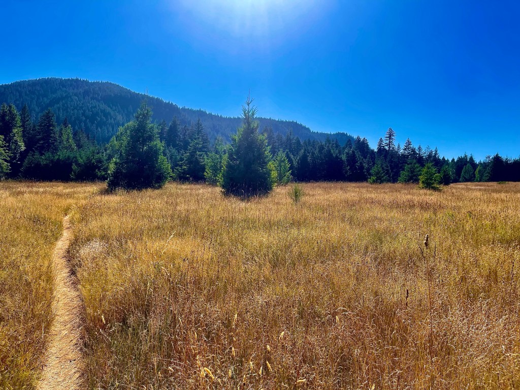
Day 31 was great. We left camp at 6:30, and walked 2.5 miles to the first water source. Here we filled up since it was 13 miles to the next reliable source. We went up about 800 feet over 4 miles. It was mostly through the woods which was very pretty. At the top of the climb a NOBO hiker told me that there was a great viewpoint a mile ahead of Mount Hood. So, I headed there for my morning break. I sat for about 20 minutes enjoying the view and having a snack. I even had some cell service which is always a treat. After my break I headed back on trail to go 9 miles, mostly downhill, to our lunch spot. I saw lots of NOBO hikers and they were all pretty friendly compared to the ones I met the day prior. The day before I passed lots of them that would not even return a simple hello, I hope they’re days got better. I went all the way from 4,000 feet down to 900 feet elevation in 9 miles. A huge descent. I also walked past lots of signs saying that there was a boundary line for an experimental area. Then I saw a big sign about the “Wind River Experimental Forest.” I’m not quite sure what an experimental forest is so I will have to look into that.
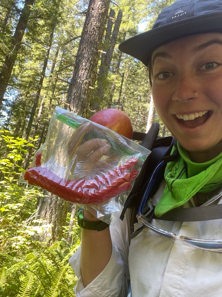
About a mile from Panther Creek where we were going to have lunch I met a NOBO hiker who told me there was trail magic ahead and that Autopilot was waiting for me. So I started to jog so I could filter some water at the creek and see if the magic was still there. It was! There was a couple who hiked the trail northbound last year and they came to do some trail magic where the trail crossed the road. They had a picnic blanket set up with a bunch of lawn chairs. There was soda, muffins, homemade brownies, chips, hummus, salad, fresh fruit, and peanut m&ms. I was so surprised, this was the first real trail magic we’ve seen. I had some soda and chips and a couple brownies. It was all such a treat and the couple was so kind. We hung out with a couple other northbound hikers here. We stayed for close to 2 hours, it was really nice to just sit and hang out. We had about 5 miles to our campsite and we figured it would be a popular spot so we wanted to get there early before it was crowded with north bounders. Along the way I ran into some more trail magic! A woman had coolers set up with pickles, soda, fruit, and twizzlers! I felt so lucky to get my first and second taste of trail magic in the same day. I grabbed a Dr. Pepper for Autopilot and some twizzlers and an apple for myself.
The next couple miles were relatively flat and easy going. I got to the Trout Lake campsite around 5:30, in total we did a little over 21 miles on this day. I’m glad we got to the site early though because about 20 north bounders came through after us looking for a tentsite. A lot of NOBOS have had to skip Oregon because of the fires so they are now in Washington. Autopilot counted the NOBOS he saw on this day and counted at least 120. That’s a lot of people on this little stretch of trail. We got nice spots right next to the creek. I washed up a bit and had some dinner and was so happy to eat the apple I saved from earlier. It was nice to chat with some of the NOBOS as well before going to sleep.
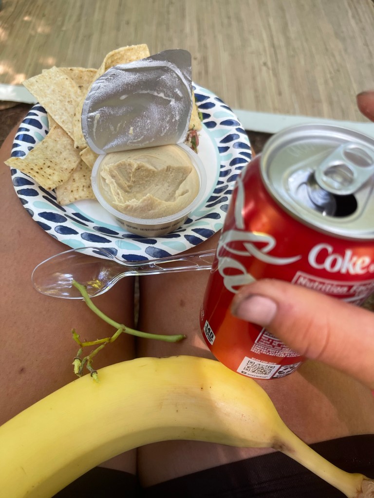
Day 32 was a long one for me. We left camp by 6:30 and went up about 1,700 feet in 4 miles. I took my time and tried to drink a lot of water on the way up. At the top we took a 30 minute break and fortunately had cell service. We were able to see what hotel/hostel options we had for when we get to Portland. After our break we headed back on trail and walked down about 5 miles to our lunch spot. I took my time going downhill too since I was pretty tired. I got to the creek around 12:30 and had a nice lunch of salmon tortillas and mashed up cheezits. We stayed here for about 2 hours. I took a nice little nap in the shade and felt better rested afterwards.
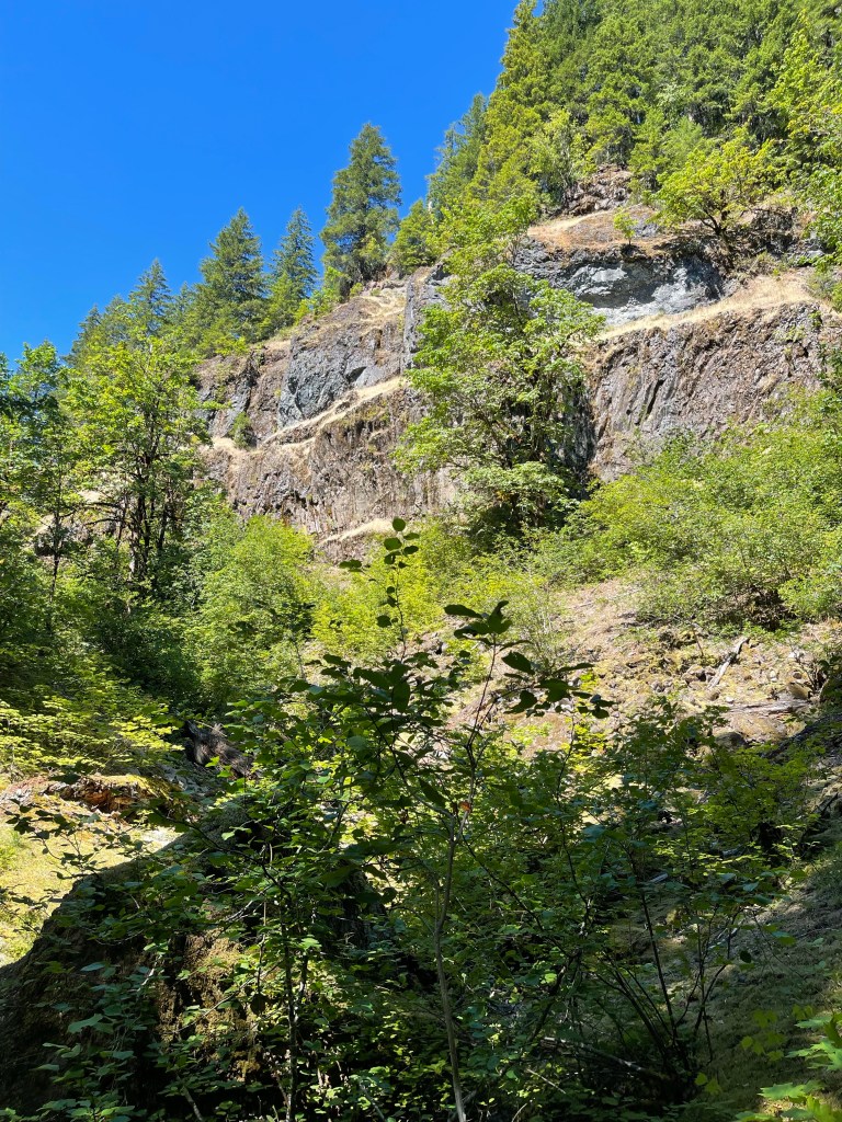
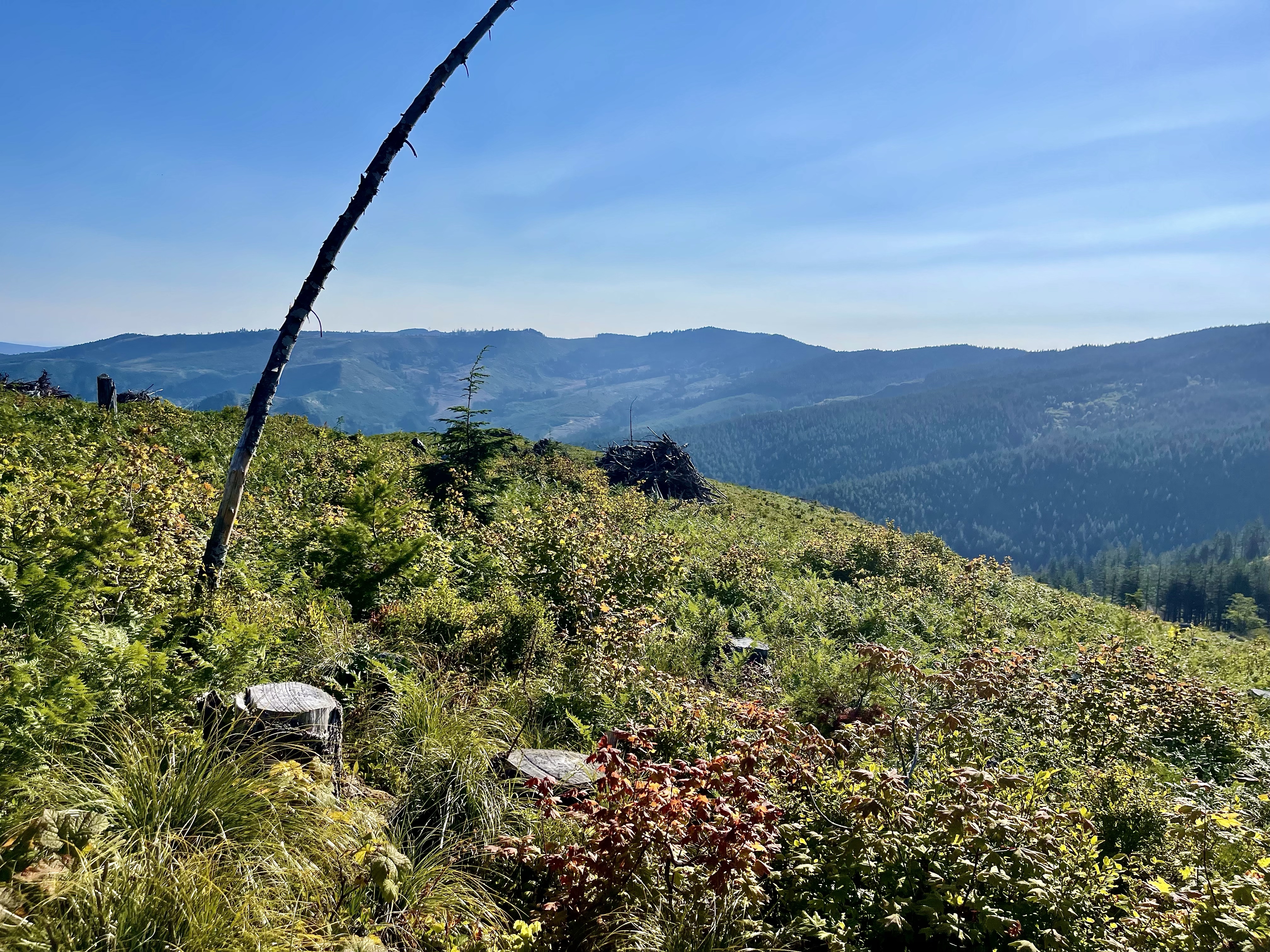
We left around 2 and then started the last big climb of this section. We had to go up about 1,800 feet in about 5 miles. This was tough for me. My body just did not want to get going after lunch. I was so tired and it was very hot out. I just slowed down and took several water breaks. At the top we took a short break and kept going another 3 miles of a little up and down. It was very pretty up here since the trees opened up to show the nearby mountains. A lot of the mountains looked familiar because I saw them on my train ride into Seattle!
We had about 4 miles to go to the campsite but my feet hurt so bad. I had blisters forming between and underneath my toes. There isn’t much you can do once blisters have formed so I just tried to walk a little differently so as to not irritate them more. I put blister cream on my feet in the morning and changed my socks halfway through the day but this didn’t do much I guess. This slowed me down quite a bit. I was in a lot of pain and just tried to focus on putting one foot in front of the other. I got to camp a little after 7:30 and was a little bummed that it took me so long to get there. But I couldn’t do much about it. I filtered some water and set up my tent as everyone was having their dinners. I had tasty garlic and Alfredo shells and Oreos for my dinner. I also had some hot cocoa before turning in. Today marks one month since starting the trail, which is kind of crazy to me. It doesn’t feel like it’s been that long.
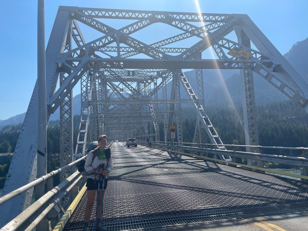
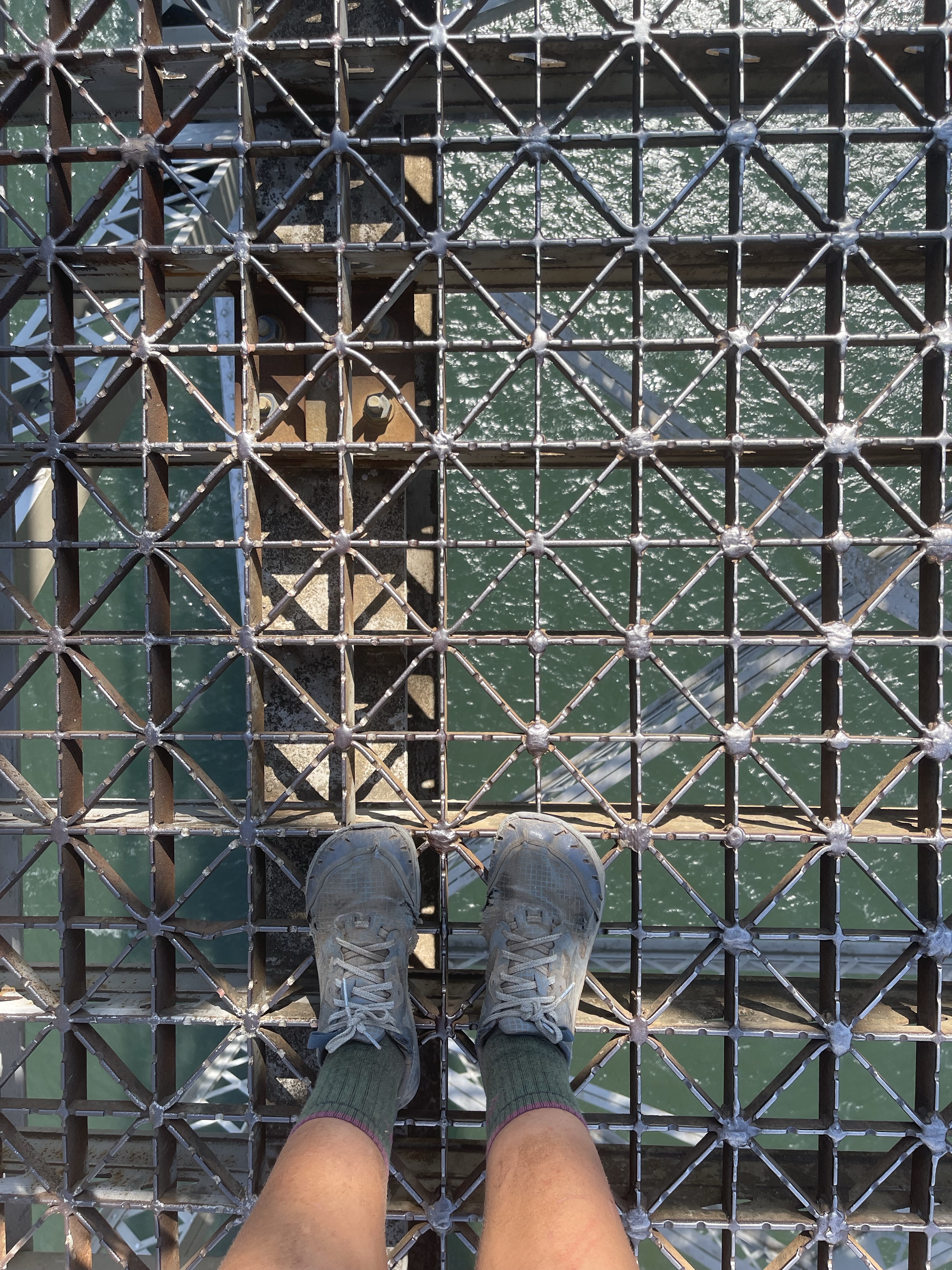
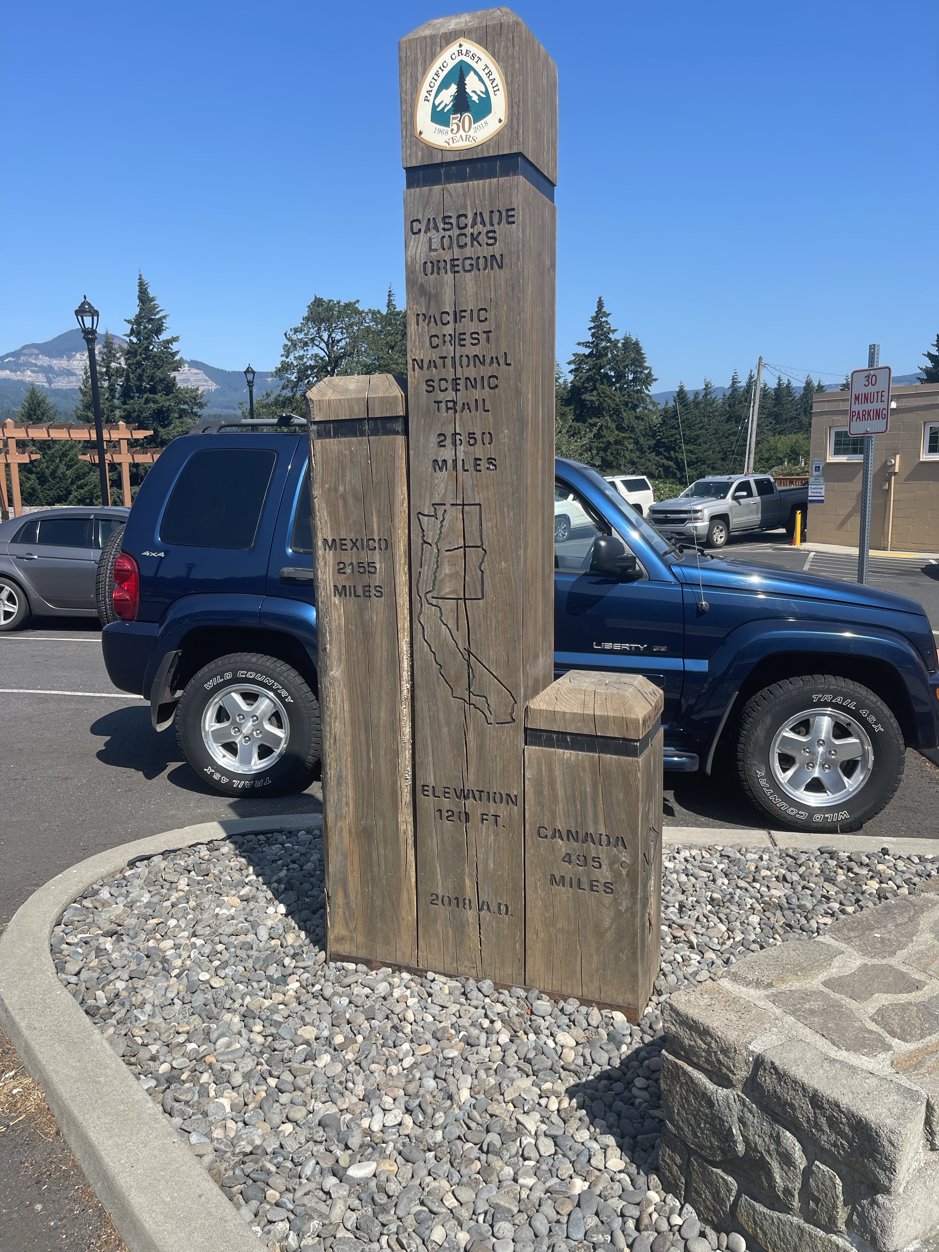
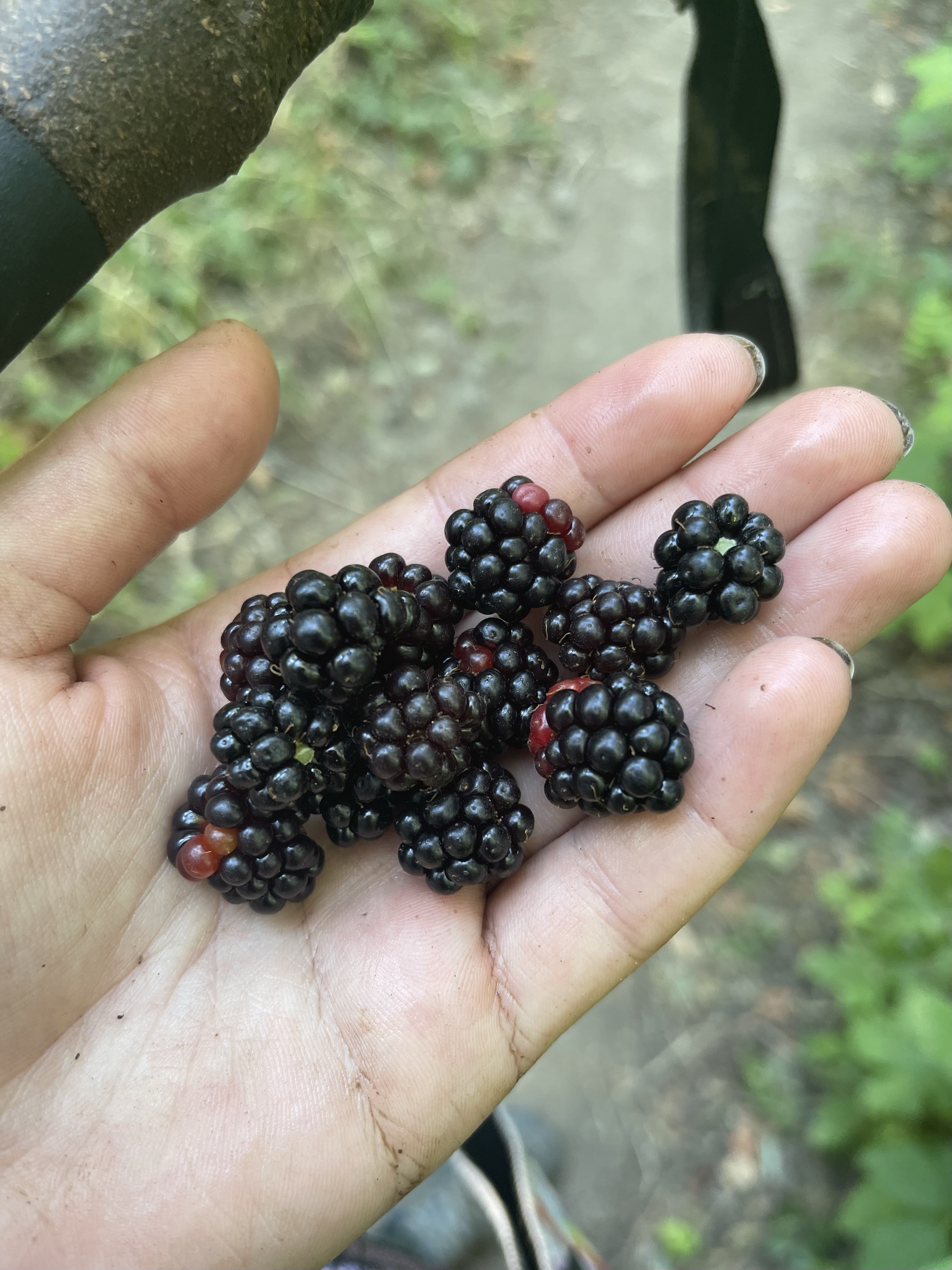
On day 33 we hiked 9.6 miles to Cascade Locks. We left camp by 6:30 and started out. This walk was mostly downhill and really irritated my toes. I tried to just stay focused on getting to town and having a well deserved ice cream instead of the pain in my feet. I met lots of north bounders who kept saying “congrats, you’re almost there!” There were a bunch of wild blackberry bushes and I picked a bunch and snacked the rest of the way. I made it to Bridge of the Gods at 10:30. This bridge is pretty iconic since it’s where Cheryl Strayed finished her PCT hike which is what “Wild” is about. We crossed over the bridge right on the road since there is no pedestrian sidewalk. I felt so happy to be crossing over because that meant we had hiked all of Washington! We started our hike on July 7th, and touched the Canadian border the night of July 8th. So technically it took us a little less than a month to hike across the whole state. The Washington section of the PCT is 505.4 miles long, and we had to do an extra 33 for the border touch.
It feels very weird to be done with an entire state of the trail. I have learned a lot in the past month about myself and hiking in general and just overall feel very fortunate to have this great opportunity to hike the Pacific Crest Trail.
We took the bus to Portland and are now taking the rest of today and tomorrow off, our first zero. I am looking forward to eating, sleeping, and resupplying. My feet will definitely be thanking me for this break. Our next stretch of trail is about 50 miles to Timberline Lodge, Oregon.

Leave a reply to Rosie Johns Cancel reply