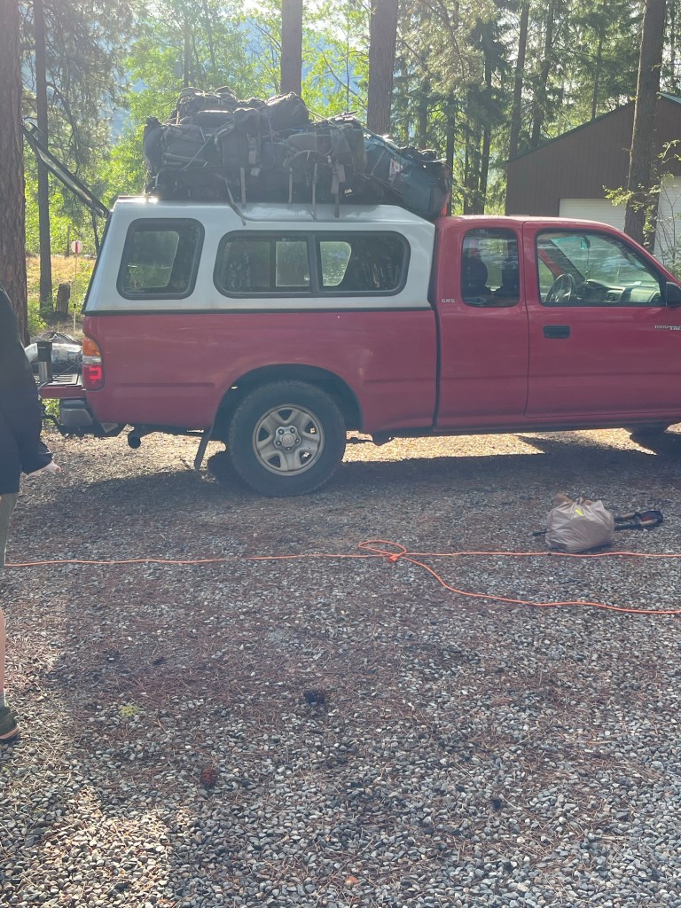
Well I have finally started on the trail! I left Mazama on July 7 and headed to Harts Pass. A great trail angel gave me and about 11 other hikers a ride to the trailhead. The Harts Pass road was a little sketchy at times but it’s such a beautiful drive. We even saw goats on the hillside.
Two other hikers and I headed out on the PCT to the border. There have been lots of reports of dangerous snow travel on the regular PCT route but we decided to take a look ourselves.
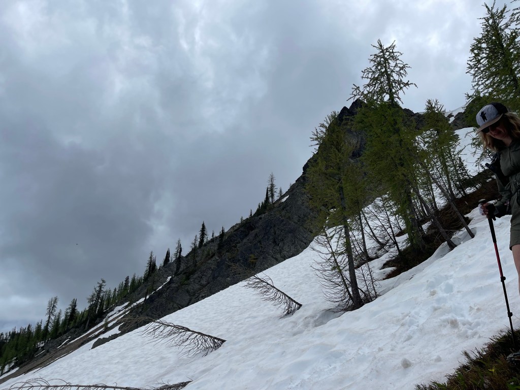
The first day we hiked about 14 miles and camped with some people we met in Sedro Woolley. That first day was pretty slow going through several feet of snow. We constantly had to put our microspikes on and take them off. At one point we missed a switchback on the trail and did an accidental summit of Tamarack Peak. Not too bad for the first day out there!
I post holed several times through this section and was so tired of digging myself out of the snow, it felt good to get into my sleeping bag at the end of the day.
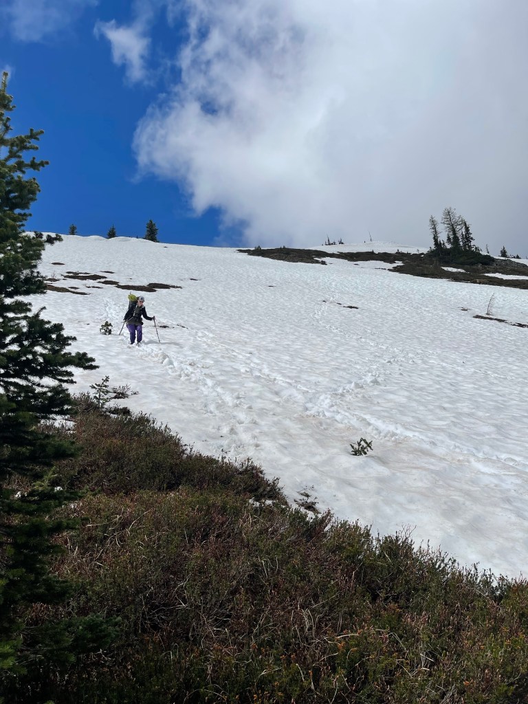
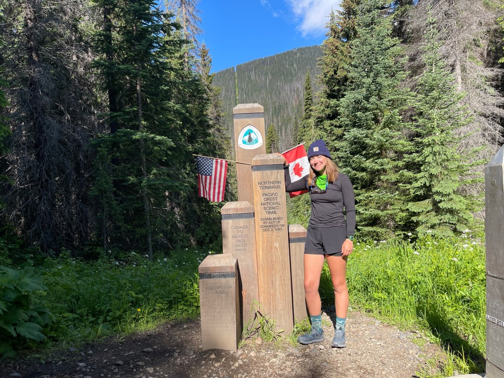
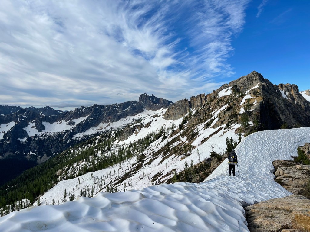
On day 2 we hiked about 17 miles and made it to the Northern Terminus which is on the border between the United States and Canada. This was also a challenging day. We had to go over Rock Pass, Woody Pass, and Hopkins Pass. From where we camped to Woody Pass we gained about 2,100 feet in elevation. The highest point in this part of the trail was at the scenic viewpoint at 7,117 feet. That is the highest I have ever been while hiking. We heard a lot of bad reviews on Rock Pass and were a bit scared to see what lay in store for us. Rock Pass normally had some pretty steep switchbacks but because of the high snow year they were all covered in several feet of snow. In order to get down this section you have to make your own switchbacks instead of following the trail. There are a couple points where it is best not to follow the actual trail because it can be pretty dangerous with all the snow. At Rock Pass we cut switchbacks and used our microspikes and ice axes to make it down the slope. I slid once and had to self arrest but other than that we made it out okay. Between Rock Pass and Woody Pass there was a long stretch of snow on the side of a mountain that completely covered the trail. We had to walk single file with ice axe in one hand and trekking pole in the other. In order to keep from slipping and falling down this mountain side I literally had to say to myself left, right, left, right. For me this was the scariest part of the trail because if you slipped here you were going to slide a very long way down on loose snow and gravel. Again, we made it out okay.
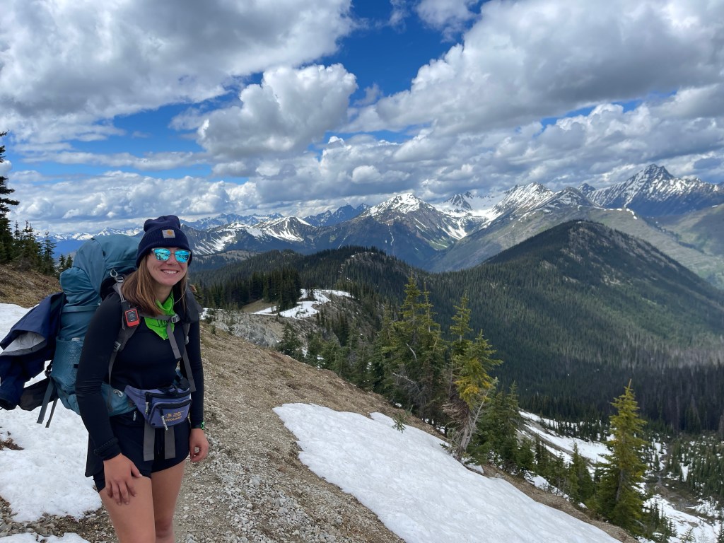
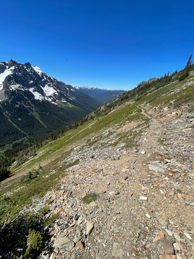
The climb to the scenic viewpoint wasn’t terrible, just a lot of snow to navigate through. The views were amazing up here, as with the rest of the trail since you hardly have any tree coverage. We trekked on over Hopkins Pass and made the final stretch to the border. It was a long descent to about 4,000 feet in elevation at the Northern Terminus. This stretch was easy to navigate since there was minimal snow.
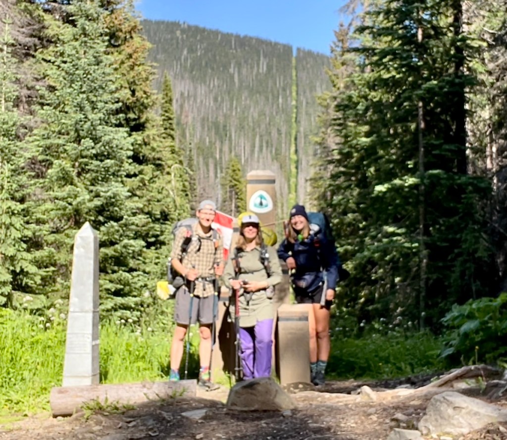
The Northern Terminus is really just like 4 pieces of wood in the middle of the woods but it was so amazing to see in person after seeing so many pictures of it. We took a bunch of pictures and set up camp here for the night. I’m not sure if we were allowed to camp here since it’s right on the border and not an official campsite, but we were too tired to really care.

If you are hiking the PCT Southbound you have to hike from Harts Pass to the border and then back to Harts Pass to “officially” start the hike. It’s illegal to hike from Canada into the United States so you just have to walk an extra 30 ish miles to start and stay legal. I have always liked trails that go out and back though because you get a new perspective of the same trail on the way back.
The next morning we decided to take an easier day and walked 11 miles back over to Woody Pass. We ascended quite a bit since we had to make it up and over the scenic viewpoint but we just took our time. We made that scary stretch on the snowy mountainside and it wasn’t as bad as the first time we went through. At Woody Pass we decided to look for a tentsite and settle in for the night. While looking/hiking through the trail one of the hikers I was with slid about 30 yards or so downhill. This was frightening to watch because you can’t really do anything as someone else is falling because you might slip and fall after them. Thankfully she was able to grab her ice axe and slid into a bare patch of grass and didn’t have any injuries.

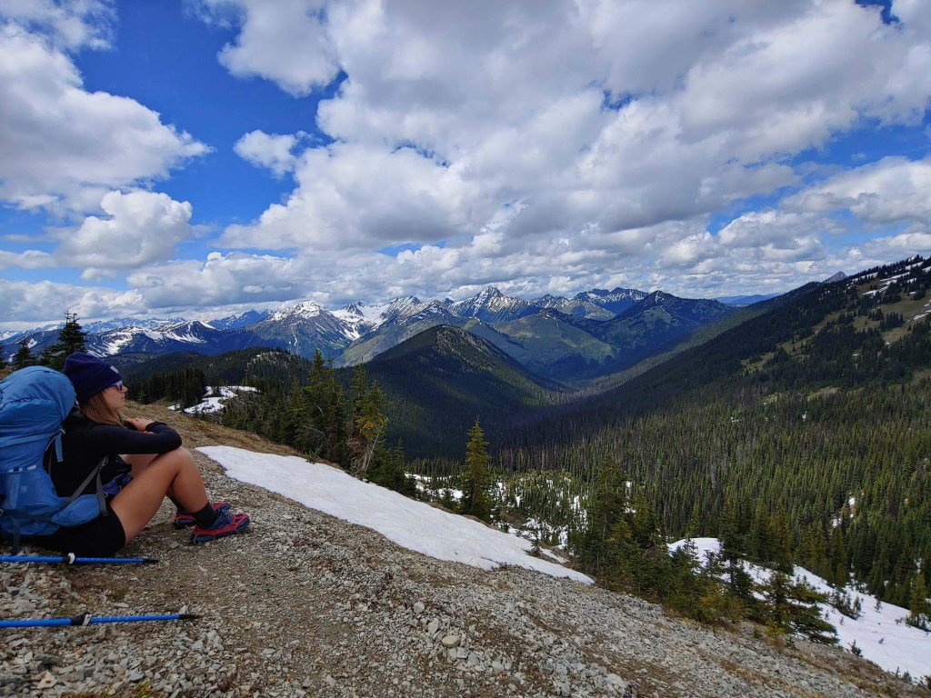
We camped on this little grass “island” in this huge basin of snow. Ironically the mountain we were next to was called Three Fools Peak (there were three of us). I sat and ate my dinner and just stared at the mountains around our quaint campsite. All of the mountains were above 7,000 feet tall!
On day 4 we made the final 19 mile stretch to Harts Pass. Rock Pass was exhausting to climb over but, again, we made it through. The tough part about it is that it’s about a 40 foot tall stretch of snow you have to walk up. The snow is very soft and slushy and you can’t stop and take a break anywhere because you can easily slip and fall down the mountain. It’s like the ultimate stair machine, especially when you have a 30 pound backpack on you.
After Rock Pass the trail was pretty easy going and almost unrecognizable with all of the snow that has melted. We saw a bunch of hikers and gave them the run down on snow conditions.
At about 5 miles from Harts Pass we made the decision to just forge on and camp at the trailhead because the two other people had beers waiting for them in the bear box and I had peanut m$ms calling my name. We made it to Harts Pass and saw more people we spent time with in the hiker hostel. Someone gave me cheddar cheese, a slice of an apple, and chocolate from Finland. It doesn’t sound like much but those were sweet treats to me after eating Ramen, oatmeal, and granola bars for the pas three days.

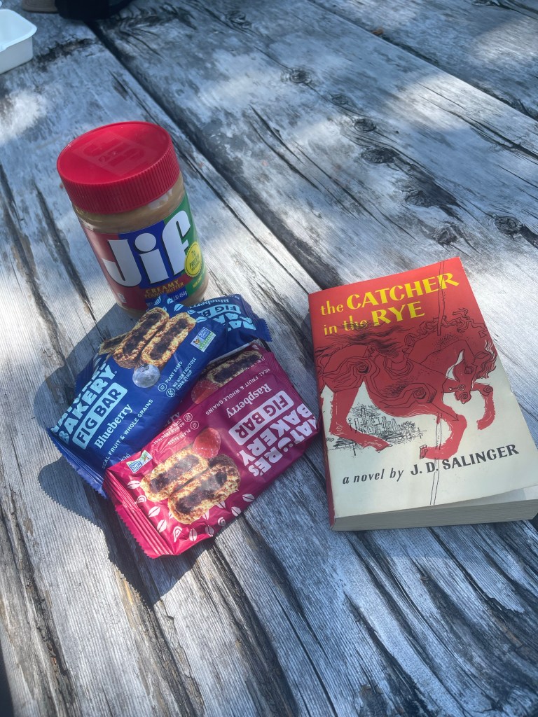
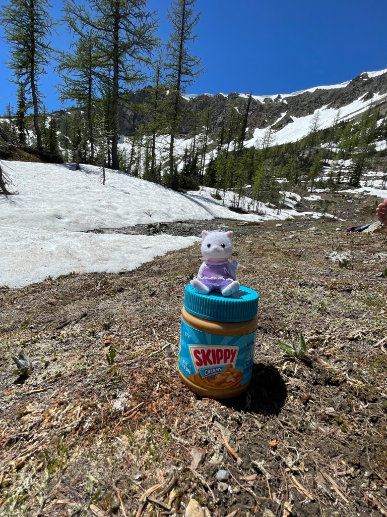
We slept in on day 5 and took a long breakfast. One of the hikers made me a real cup of coffee (I’ve been drinking cold instant coffee). Another hiker was going to throw out a container of peanut butter but I was able to snag it before and I’m so glad I did. We hiked 12.5 miles, which is more than we planned to do. We have been trying to start slow so our bodies can get used to hiking with a heavy pack over big miles. But it wasn’t a bad stretch of trail. There was another field of snow on a mountainside to navigate but other than that the trail was relatively easy. We had a beautiful lunch at a stream in the sun. It had to have been 80 degrees Fahrenheit. I washed my socks, camp pit, and washed my face. It felt refreshing to take a long lunch break and just kind of nah out in the sun. The rest of the day was a lot of downhill and some snow. There was hardly any tree coverage which meant we were just out under the sun all day. I think I got a little sunburnt despite putting on sunscreen.
We camped at Brush Creek with two hikers we met the day before. I was able to wash my other pair of socks, take a quick dip in the creek, and have a tasty dinner listening to the water rush by.
On day 6 we hiked up to Granite Pass and had to go up about 3,000 feet in elevation in about 5 miles. It was a little tough because of how much snow there was and the heavy backpacks but we made it up there. The trail was beautiful in this section with amazing switchbacks along the side of a cliff. We hiked a little over 10 miles on this day and found a campsite on the pass. It was a pretty open and sunny area that gave us a great look at the surrounding mountains. I am trying to keep a slow and steady pace for these first couple weeks of the hike so I don’t injure myself. It was a short day and I had to keep reminding myself that it’s okay to have short days and set up camp early. Sometimes I feel like I need to exhaust myself everyday but, again, I remind myself that this is a thru hike not a sprint.
There were so many bugs at this campsite and unfortunately my all natural bug repellent did nothing to protect me.
On day 7 we hiked up to Cutthroat Pass which definitely lived up to the name. There was a bunch of snow and we had to put on our microspikes and use our ice axes yet again. There were some switchbacks and steep climbing up and over the pass, and then a field of snow along the mountainside that we had to navigate. The snow layed on top of loose rock and gravel and made for real slow traveling. The “optimist” and I turned to see how the third person in our group was getting along in the snow only to find that she was nowhere to be seen. She had slid down the mountainside and self arrested. It was frightening to see how quickly and quietly things can go wrong. She was okay and we kept moving. After about 5 miles we were finally able to take the microspikes off and put the axe away! The rest of the hike to our campsite was downhill and relatively flat. We hiked to Rainy Pass and ate lunch right before crossing over highway 20. We camped at the “Six mile campsite” which is a popular place for bears to frequent. There was a bear box to store our food and smelly stuff in, a “toilet”, and a great creek. I washed some of my clothes and even washed my hair which felt amazing. I packed more food than I needed to get from Harts Pass to Stehekin so I had a big dinner. Two instant rice noodle packets, peanut m&ms, Godiva chocolate, and hot cocoa. Okay, it was really just a big dessert. The hiker hunger has started to set in.
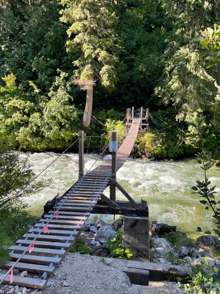
On day 8 we set out for Stehekin. It was a 10 mile walk to the High Bridge camp where we would get picked up by the shuttle bus. It was a lot of up and down but a really well maintained trail. I crossed over two suspension bridges which I don’t really like going over. I had to walk in my rain pants since my shorts were still wet from washing them last night, so by the time we got to the camp I was soaked in sweat. The bus picked us up and brought us to the Stehekin Valley Ranch and then to the town!
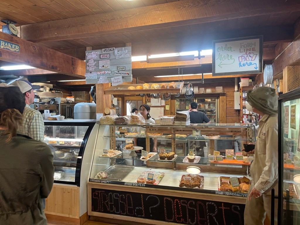
I stopped at the bakery and had a great veggie sandwich and a cinnamon roll as big as my head.
Stehekin is a beautiful little town and pretty remote so I didn’t have great cell service.

So far the trail has been thrilling and I’m so looking forward to the coming weeks. I’ve met a bunch of great people and heard some great stories. Sections of the trail are taxing but I find it relieving that at the end of the day we can all just laugh off our mistakes and problems.
I even have a trail name now, “Mustard sandwich.” Now to Stevens pass!

Leave a reply to Betsy Naselli Cancel reply