
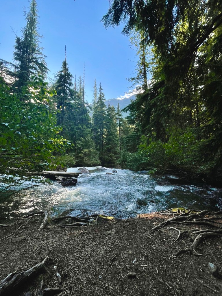
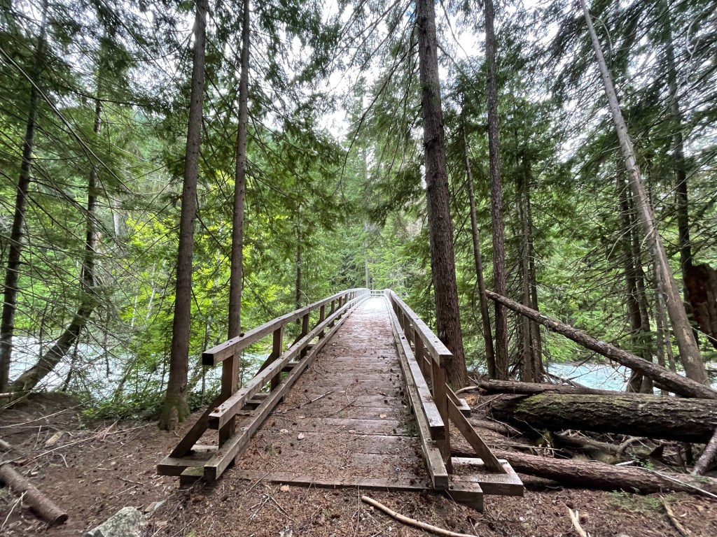
We got a ride on the bus from Stehekin back to High Bridge camp around noon on day 9 (July 15). We set out on the trail and planned on doing 10 miles to a campsite. We thought about maybe going another 5.5 miles and up 2,000 feet to the next site, but 15 miles is a lot to get in after lunch time. The 10 miles to camp were nice and easy with lots of creeks to replenish my water supply. It was a super hot day and I felt like I was just baking under the sun. Hiking in this heat made us all pretty tired. I saved a peanut butter cookie from the bakery and had that for dessert. The campsite was right next to a stream and I was able to wash up before going to bed which is always a plus.
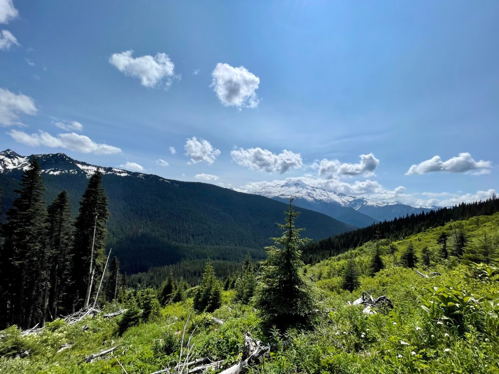
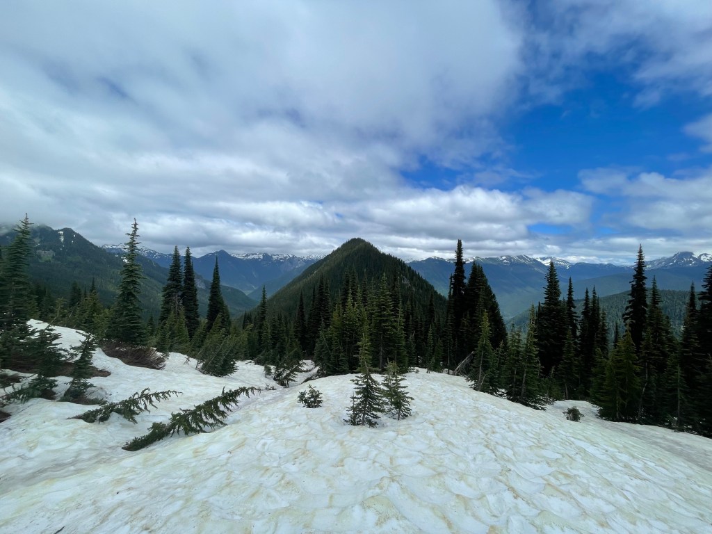
On day 10 we hiked about 19 miles. This was a long day but very rewarding. After leaving our campsite we met up with two other hikers, so there were 6 of us hiking together. We climbed up about 3,000 feet in a little over 9 miles. We stopped for lunch on top of Cloudy Pass which is at 5,898 feet. It was a nice little spot with a view of Glacier Peak. We walked about 5 miles around that elevation and had more views of Glacier Peak and the surrounding mountains, it was great. The last 3 miles of the day were down switchbacks and we descended around 3,000 feet. We camped at this nice little spot by a creek and all got into our tents at 8 pm. It felt rewarding to get up early and just hike all day long. Plus I only had to wear the microspikes once that day. My legs and feet felt good and I felt happy to be out there soaking up the views.
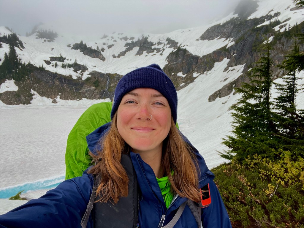
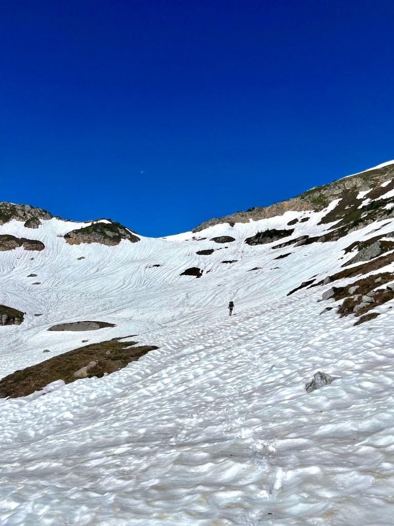
On day 11 we got up early again to get ready for a big day. We hiked a little over 18 miles. In the morning we climbed about 3,000 feet in 10 miles. The highest point of the day was at 5,870 feet. At 2 miles before the highest point we had to put on microspikes since there was several feet of snow on the trail. It was a pretty cloudy and cool day so we didn’t have super great views of the surrounding peaks. We had nice views of all the snow fields surrounding us, and wore our microspikes and ice axes for about 2 miles after the high point. It was easy going through the snow, nothing too dangerous or technical which is a nice change. The last 5 ish miles were all switchbacks bringing us down to 3,451 feet. We got to the campsite just above Milk Creek at about 6 pm and set up our tents. I quickly ate my dinner and hopped in my sleeping bag since I was pretty tired. Another nice day on the trail.
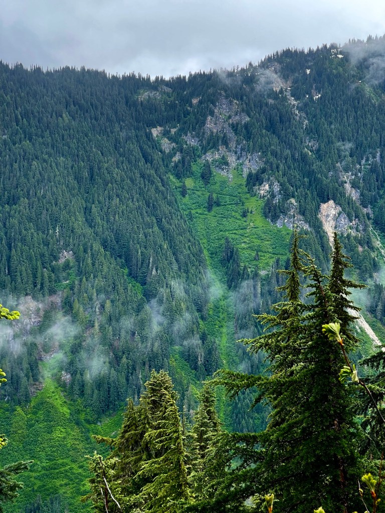
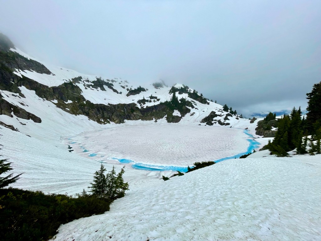
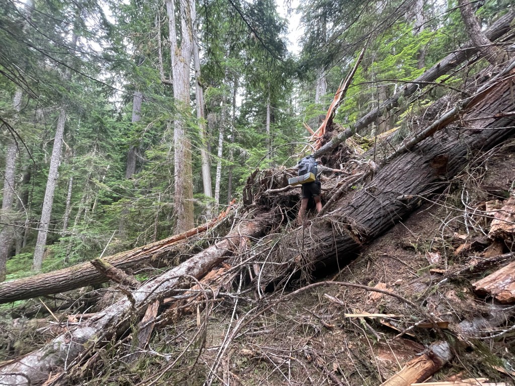
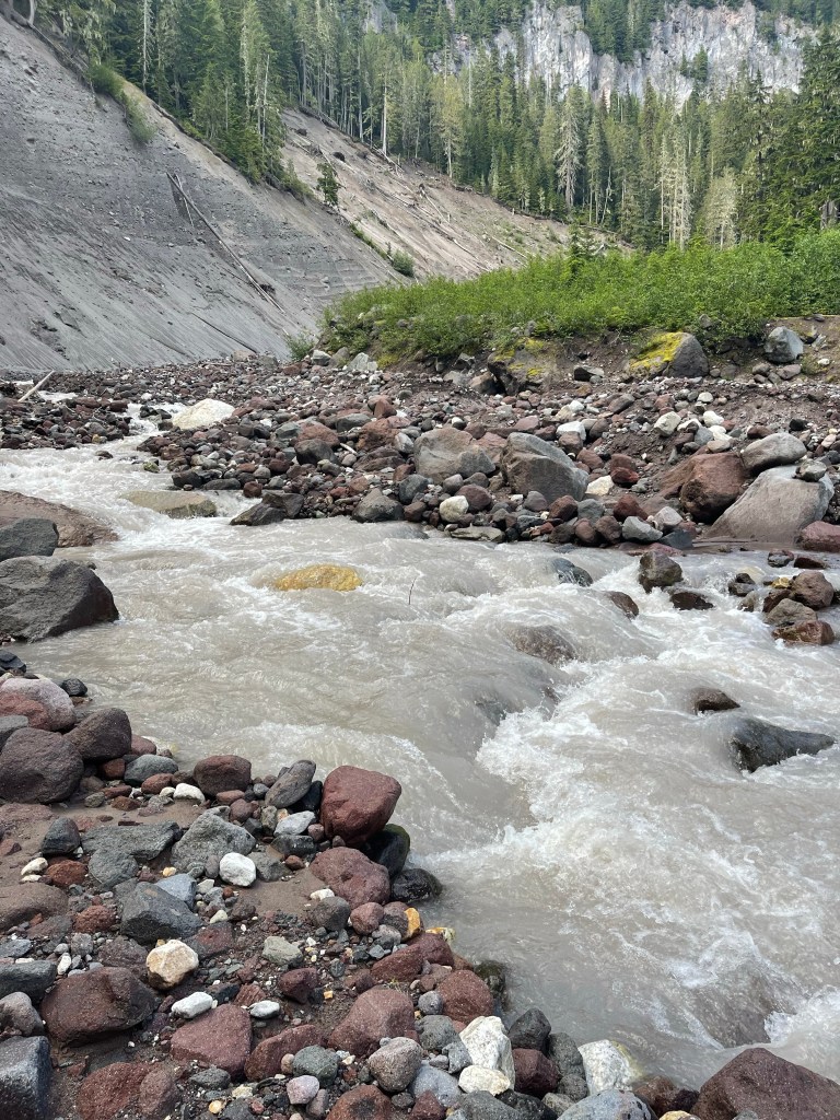
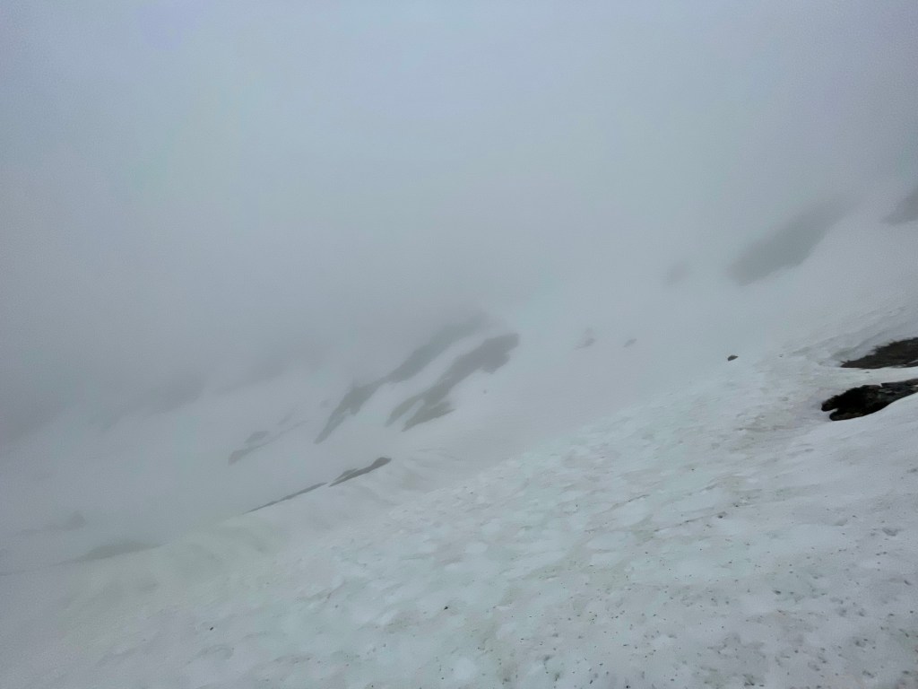
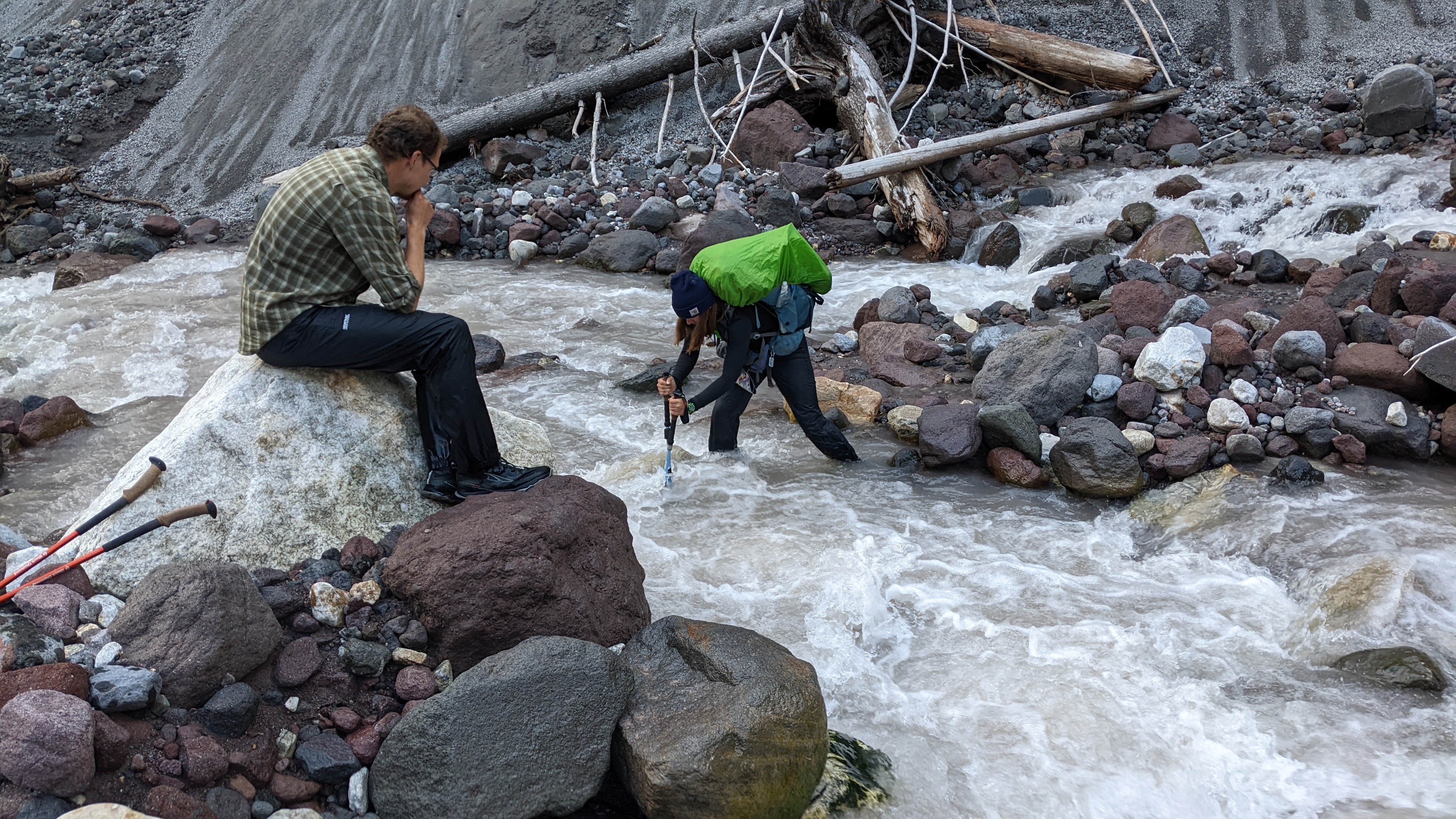
Day 12 was a tough day, probably the hardest so far. It rained all night and we had to pack up everything while it was still soaked. We started hiking and it was still super foggy out but the rain had stopped. We climbed 2,000 feet in about 3 miles which brought us to Mica Lake. It’s a beautiful glacial lake and the water there was super blue. Then we kept climbing up 1,000 more feet in 2 miles. This was tough because it was so misty and foggy out you couldn’t see more than 50 feet ahead of you really. We lost the trail for a little bit but eventually found our way. At one point in the trail you could either traverse this snow field or glissade down it. One hiker glissaded on purpose, “Autopilot” accidentally glissaded and got pretty banged up. I made it across the traverse without falling which impressed me. I had to face the snow and kick my feet in to get a hold of where I was standing. It was slow moving but I made it through. There were two other parts of snow in this section where we all glissaded down the trail to a switchback. This was really fun since you’re kind of just sliding down the snow using your microspikes and ice axe as brakes. The next 10 miles of hiking were a lot of up and down through the snow. I wore my microspikes all day. I slipped while walking through some trees in the snow and ended up folding myself over a tree trunk. It was probably pretty funny looking but it was a tough spot to get out of and involved a lot of cursing. I also post holed through snow into a creek up to my waist, that was cold. I post holed again at the base of a tree and both my legs went through so I had to dig myself out of that. Before we got to our campsite we had to cross this huge creek. Kennedy Creek is fed by Kennedy and Scimitar glaciers from Glacier Peak. The water was rough and silty so you can’t see what’s underneath it. The three of us used our trekking poles to keep steady and measure the depth of the water. It was difficult to cross because one moment your up to your ankles in water the next it’s at your waist. A misstep here could have easily swept us away down the creek. We made it out okay, just a little shaken. We got to our tentsite at 8:30 pm which is the latest I’ve gotten to camp so far. We only did 15 miles today but it was the longest 15 miles ever. The snow really slowed us down. It was a tough mentally and physically day and I was just glad to be okay at the end of it.
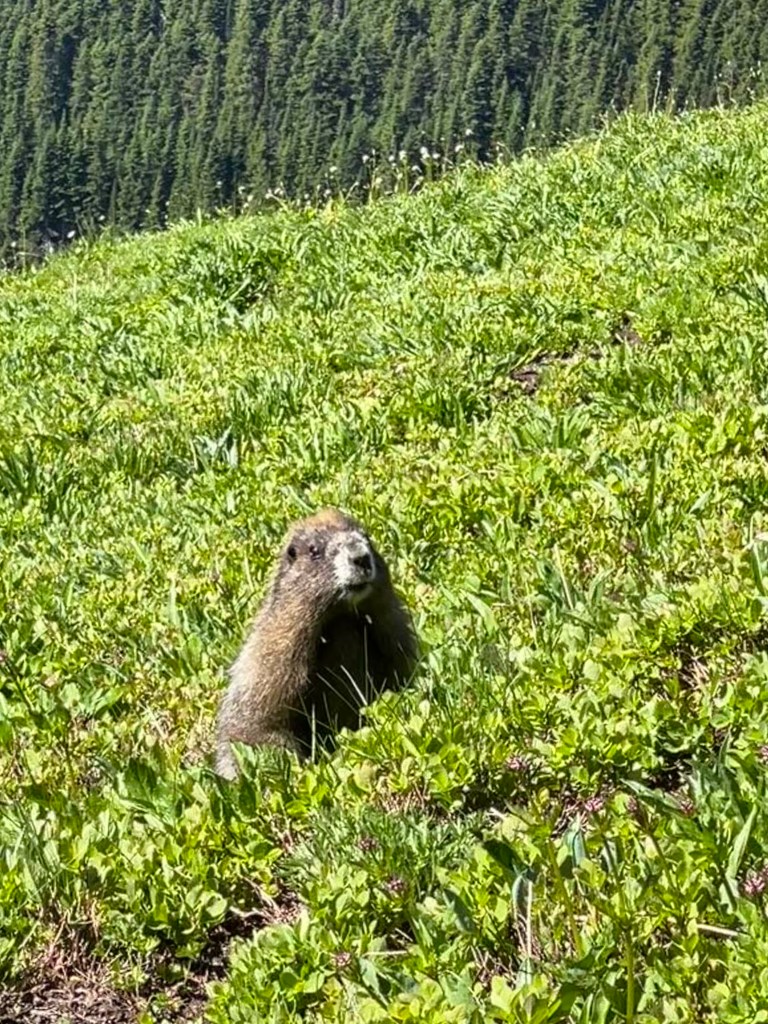
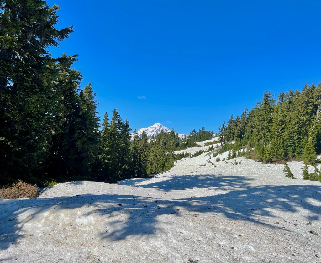
On day 13 we started at 8 am and hiked 19 miles. We ascended about 2,000 feet in about 4 miles. There was a bunch of snow on the trail so I used my microspikes and ice axe. We went through this giant basin of snow up and over a pass. It took a while and was tough climbing but we made it on top and were rewarded with amazing views of Mount Rainer. This pass was the highest point for the day at 6,500 feet. It was super sunny so we enjoyed the nice weather as we continued on to find a place for lunch. We set out all of our damp tents and sleeping bags to dry while we ate. It was nice to change into dry socks for the first time in 2 days too. The rest of the day we had amazing views of Rainer and other mountains and the fields of flowers along the trail. There was a lot of up and down over passes and snow but I didn’t seem to mind it since it was so nice out. It is crazy how easily the weather can change your mood about the trail! It took us about 11 hours to go 19 miles, including breaks and all that. The day before was only 15 miles but took us a little more than 12 hours because of how poor visibility was.

We got into camp and saw a sign that said Stevens Pass is 24 miles away, which is our next stop into a town!
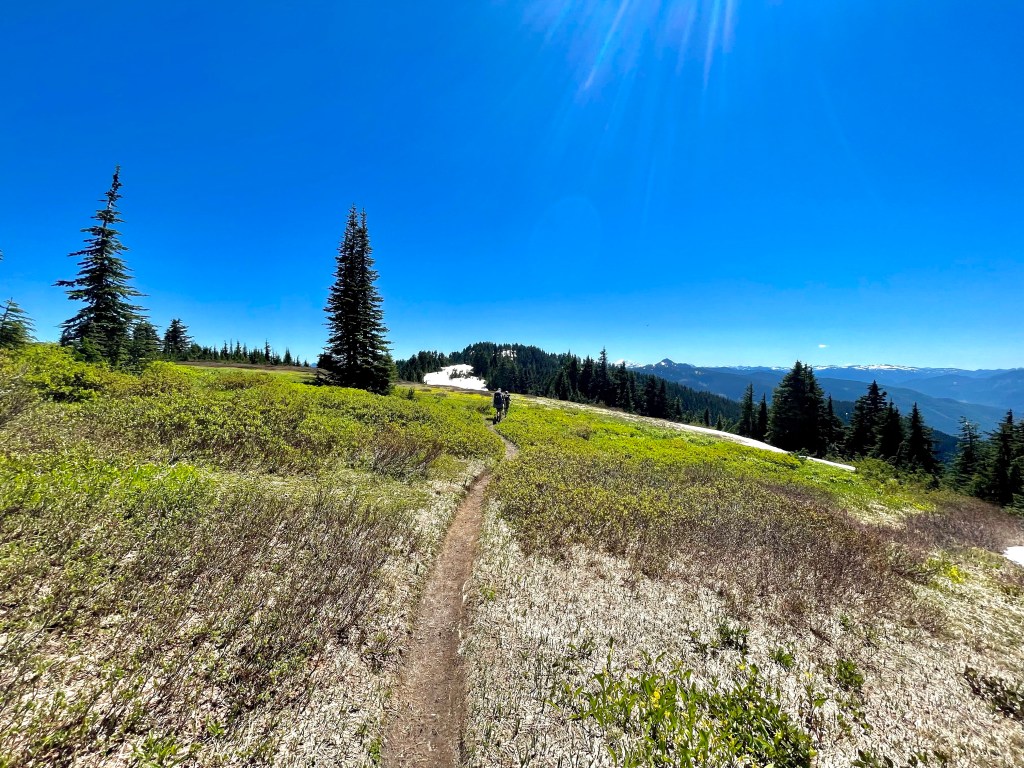
On day 14 we hiked just over 15 miles to Lake Janus. There was a lot of up and down, around 3,000 both ascending and descending today. We went over Grizzly Peak which stands at 5,579 feet tall. There were some nice views up there. We ran into a bunch of hikers out for a couple days and told them about the snow conditions they will encounter.I’m glad we are able to help people plan where they will hike based on our trail reports. I had to put my microspikes on a couple times to move through the snow quicker, but other than that the snow wasn’t too bad. We camped at Lake Janus which had a bunch of mosquitos. I washed up a bit in the lake which felt so refreshing after being in the sun all day.
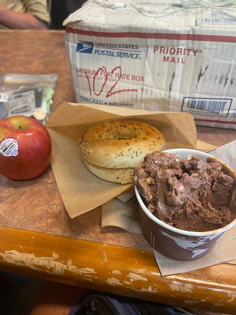
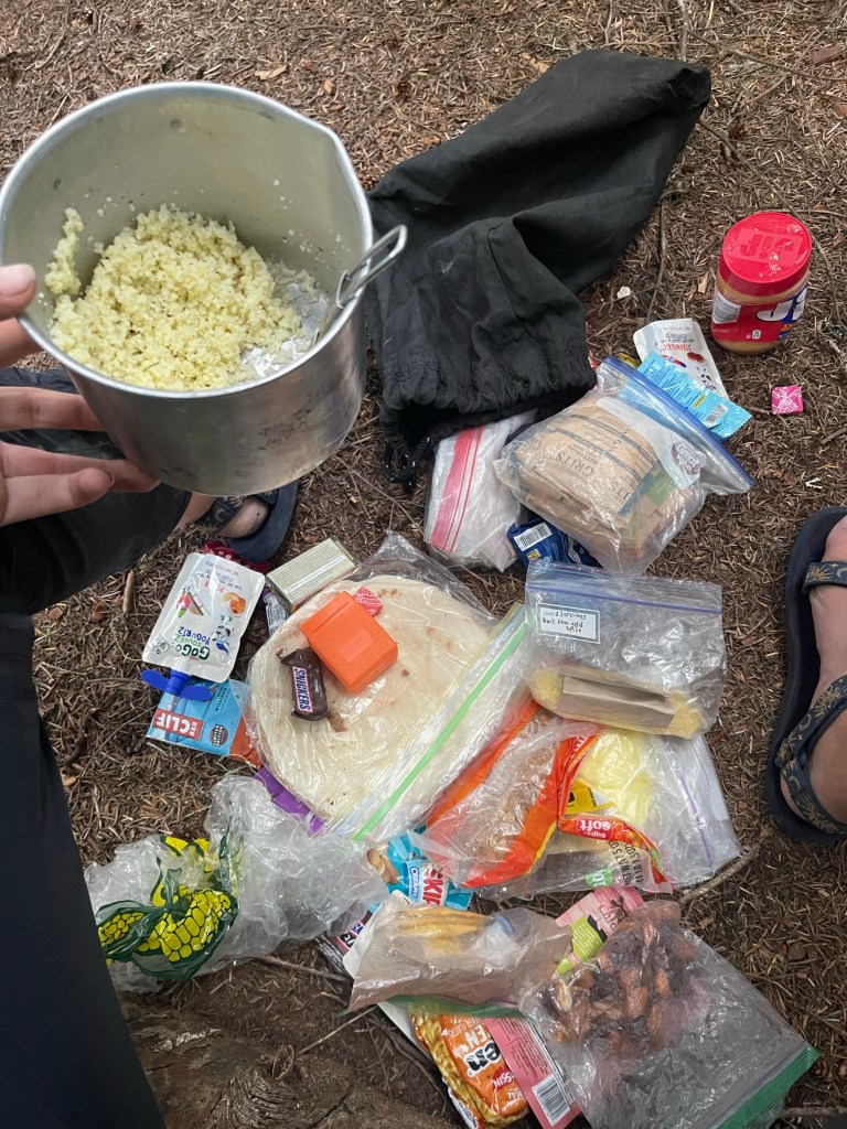
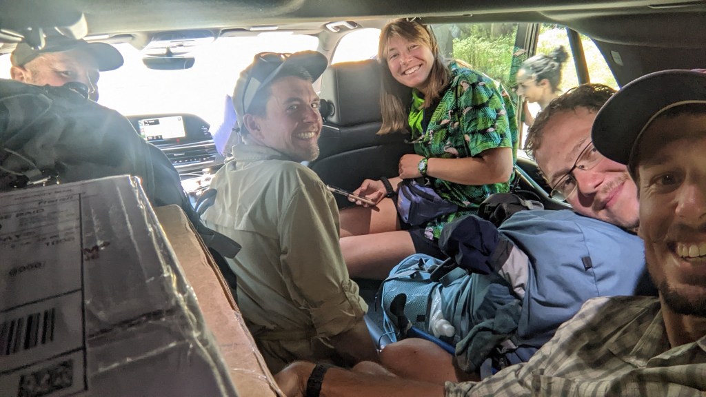
Day 15 we walked an easy 10 miles to Stevens Pass where I picked up my resupply box! A super nice security guard helped me out because I was pretty confused about where to go in the lodge. He hiked the pct in 2015 so I guess he could recognize a thru hiker. I got rocky road ice cream since this hot weather had me dreaming about ice cream. We are staying in Leavenworth tonight and heading back on trail tomorrow. I’m planning on filling up on good town food, adding some more food to my food bag, and relaxing a little. I really need to buy more peanut butter for this next stretch, my last jar lasted me 2 days. Again, the hiker hunger is real. Now we just need to get a hitchhike to town. From Steheiken we have walked 110 miles and in total I’ve walked 209.5 miles since July 7!

Leave a comment