Dial Mountain and Nippletop are two of the 46 Adirondack High Peaks in New York. This trail is another one that requires a parking permit before your hike. So, I made a reservation with the Adirondack Mountain Range organization, a week before I went on the hike. The hiker portal is relatively easy to use, make sure you actually have a reservation because the rangers will turn you around.
The trail is about 16 miles long with 4,100 feet in elevation gain, and is located near Keene Valley, NY. I started this trail on July 14, 2021 at 6:30 a.m. and finished the trail around 3 p.m.
I started the trail from the AMR parking lot, and walked through the Ausable golf club before starting the actual trail. It is about a half mile walk before you make it to the trail register and the start of the Lake Road Trail. At around the 2.5 mile mark you will take a right onto the Gill Brook Trail. This trail isn’t too bad, and offers lots of opportunities to take pictures or to take a break. you will stay on this trail until you reach the 5 mile mark which will be where you continue onto the Elk Pass Trail, and start the climb to Nippletop!
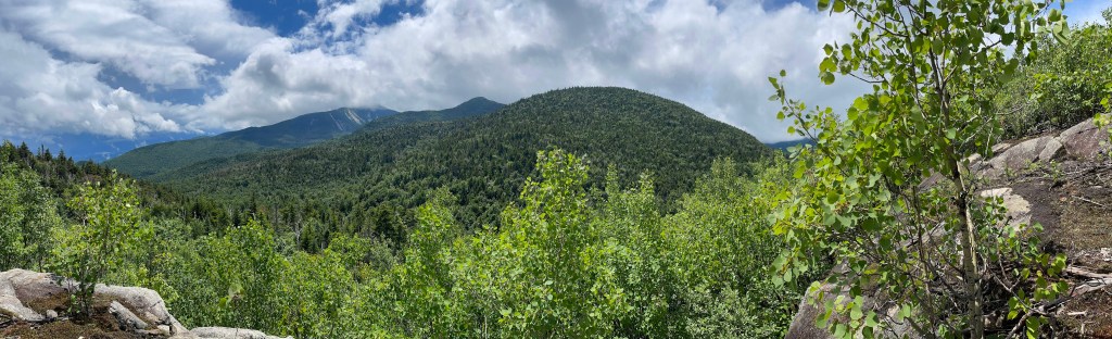
The trail to the summit of Nippletop is the HG Leach Trail, which is a right off of the Elk Pass Trail. From the start of the Elk Pass Trail to the summit, it is about 2 miles with 1,500 feet in elevation gain. Nippletop has some nice views if the weather is nice, and its not too heavily wooded.
To continue on to Dial, you just make your way back down to the HG Leach Trail. It is about 2 miles from the summit of Nippletop and you lose about 500 feet in elevation gain. Dial is really nice because there is an open rock face for you to sit on and take in the views.
The descent from Dial takes you down the HG Leach Trail and over Bear Den. Bear Den is another mountain, but not a high peak. This trail has a pretty steady descent and has amazing views of surrounding High Peaks. From the summit of Nippletop it will be 3 miles until you are back on the Lake Road Trail, and another 2ish miles until you are back to the car. This trail took me 8 hours, partly because I really took my time hiking and enjoying the scenery.
overall thoughts on the trail
So far, this has been one of my favorite hikes ever. There was a little rain when I first started but the rest of the day was clear and beautiful. I was completely alone for 90 percent of the hike and enjoyed having the freedom and alone time to really take in the hike.
The trail itself wasn’t too bad, and seemed like a doable hike for a beginner. Bring some layers because the weather can change quickly.
Also, you can add Blake and Colvin to this hike and knock 4 high peaks out at once. Here is where I talked about my hike on Blake and Colvin. Here is the trail to do all four at once.
what I brought
- 50 L hiking pack
- Merrell Moab 2 Mid ventilator
- tank top
- running shorts
- light rain jacket
- smart wool hiking socks
- baseball cap
- bandana
- extra shirt
- first aid kit
- body glide
- Food!
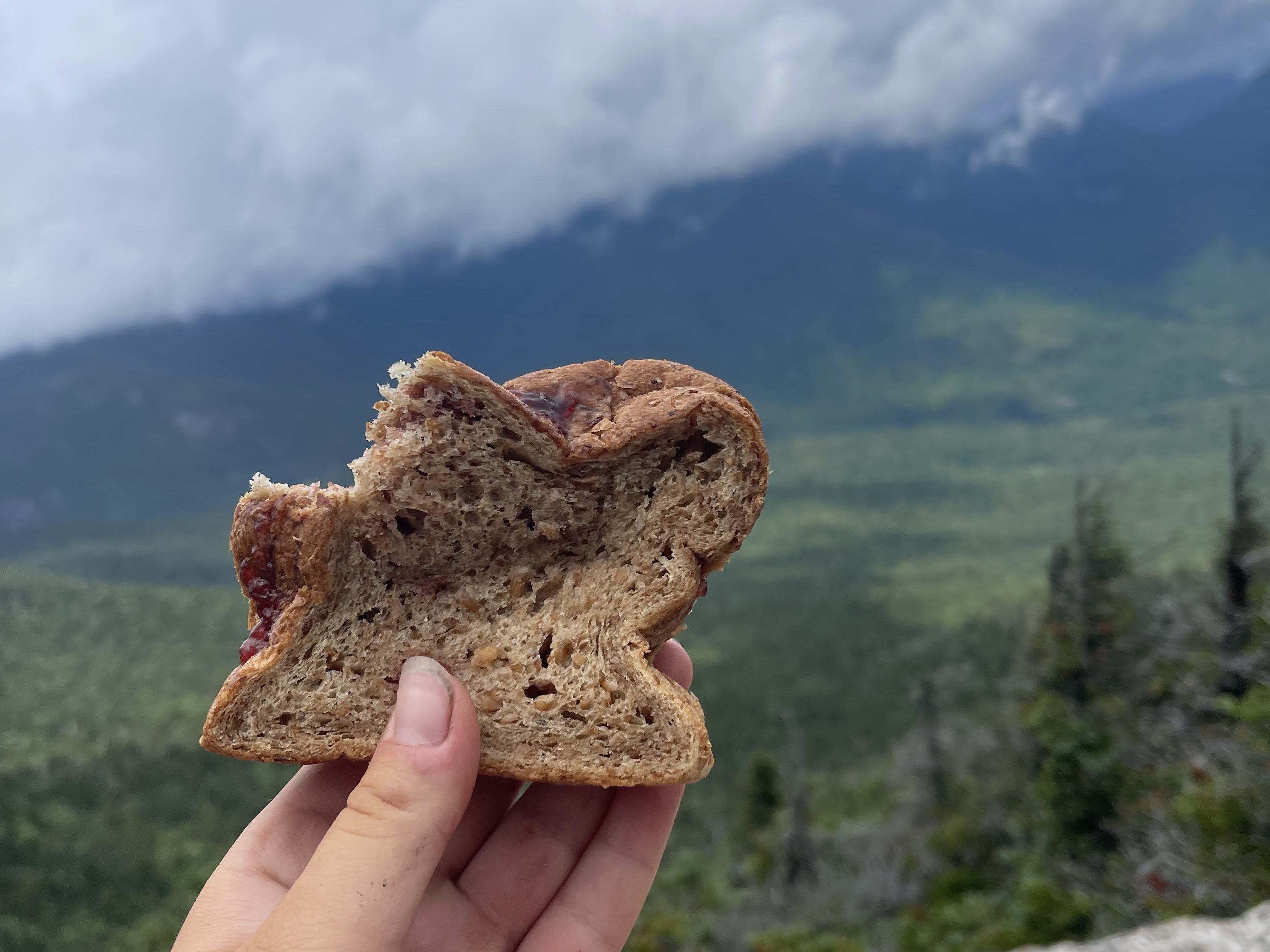
- peanut butter and jelly sandwich
- 2 cliff bars
- apple
- Downhill Darksider chocolate bar made by Barkeater Chocolates
- ritz crackers with some cheddar cheese

Leave a comment